The Slovak Danube km 1880 - 1708
For many kilometres the Danube forms the border between Austria-Slovakia (km 1880-1872) and then Slovakia-Hungary (km 1850-1708).
At the Austrian border pontoon it was not easy to dock against the current. Here was the strictest and most unfriendly border control on our journey which we have just brought on the picture behind us.
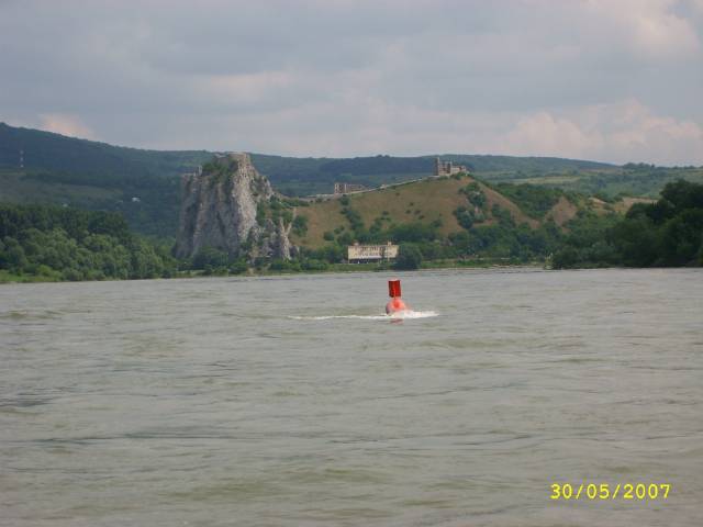
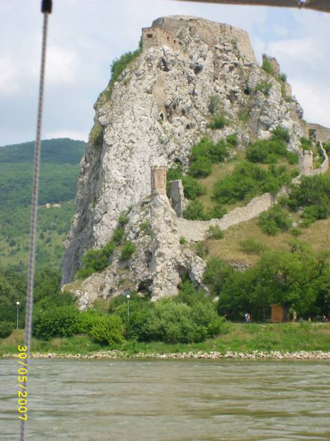
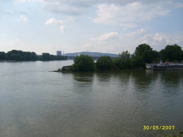
Devin Castle at the confluence of the rivers March and Danube and at the beginning of the Little Carpathians is today an open-air museum.
This must be the Slovakian border station. But we missed them and drove on without clearing them in.
The flow speed of the Danube is very high here, estimated at 13 km/h, which is why it was impossible for us to return to the border pontoon for pleasure boats when we were instructed to dock in Bratislava for commercial shipping. The officials there made a short phone call, asked about our nationality and destination and then waved us through without even checking the papers.
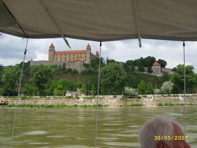
Bratislava (Bratislavský hrad)
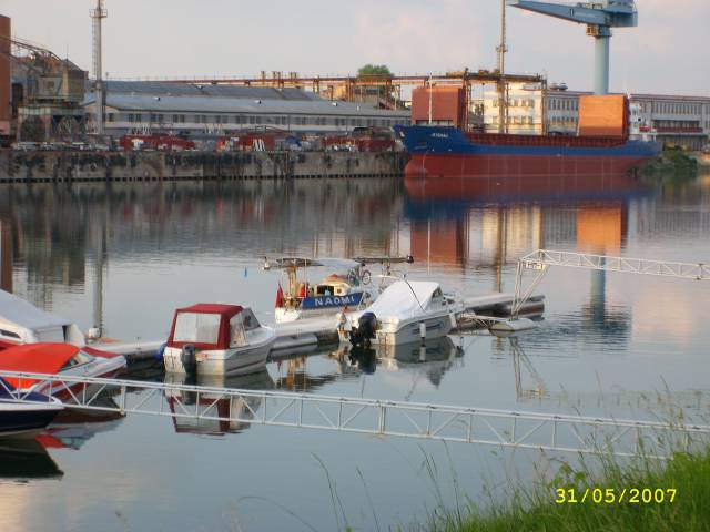
The entrance to Milans Marina is inconspicuous and can easily be overlooked. The water depth decreased to below 2.50m, but then increased again.
The restaurant Milan with its mooring and small marina is recommended in every river description. It was nice and friendly but also relatively expensive. There is a service for this, e.g. collecting fuel by canister.
Today there is a private marina without guest berths. However, Dodo`s Marina right next door, which we did not visit, has an equally good reputation. Dodo, however, has already passed away, but the widow is reportedly providing her guests with excellent food and also fetching fuel from the gas station.
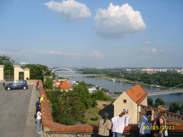
The Danube seen from the fortress.
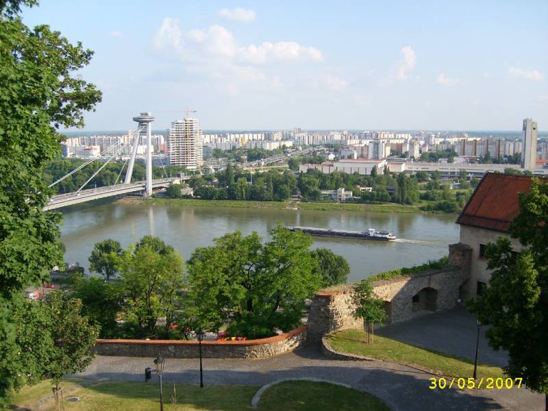
The "Ufo" on the bridge pillar is a restaurant.
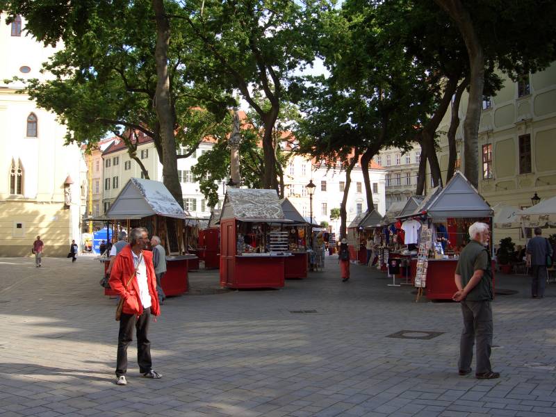
At the town hall square there is a small market, where souvenirs are sold in permanent stalls.
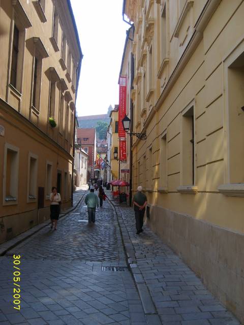
Bratislava is a pleasant city with many students and even more tourists today.
The beginning of the Gabcikovo canal. For some kilometres the buoys were replaced by fixed signs.
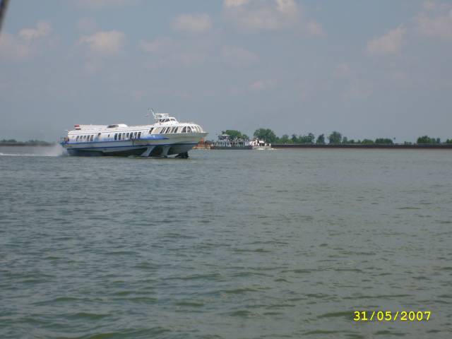
We have already got used to the hourly meeting with the hydrofoil between Bratislava and Budapest.
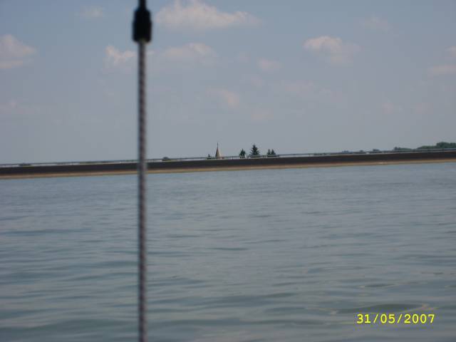
A canal bridges a non-navigable stretch of road for almost 40 km. Only the church towers and some chimneys and water towers can be seen.
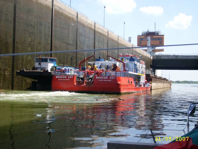
Gabcikova lock at the end of the canal at km 1819, the largest run-of-river power station in Slovakia (SK). Now we have several weeks free travel.
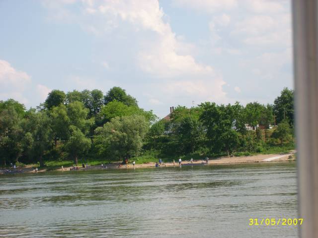
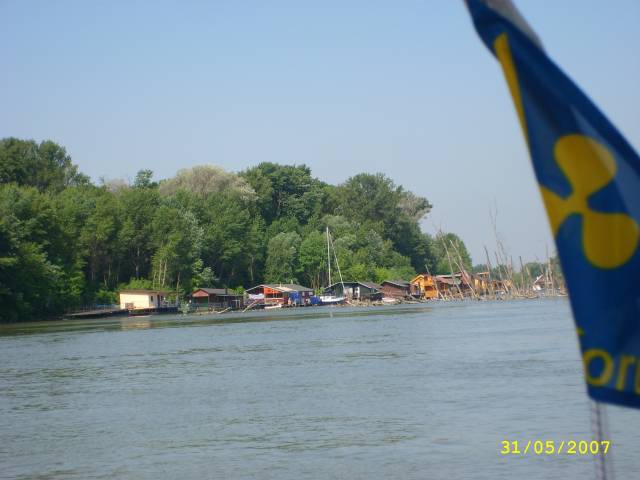
Part of village life seems to be taking place along the Danube.
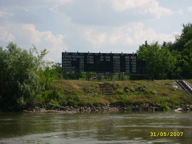
The water levels are extremely important with our draught of 165cm
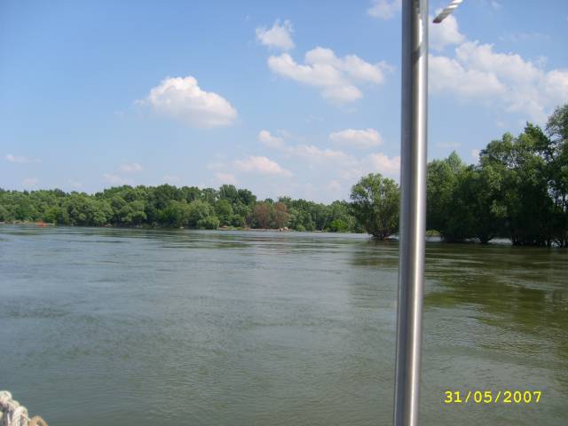
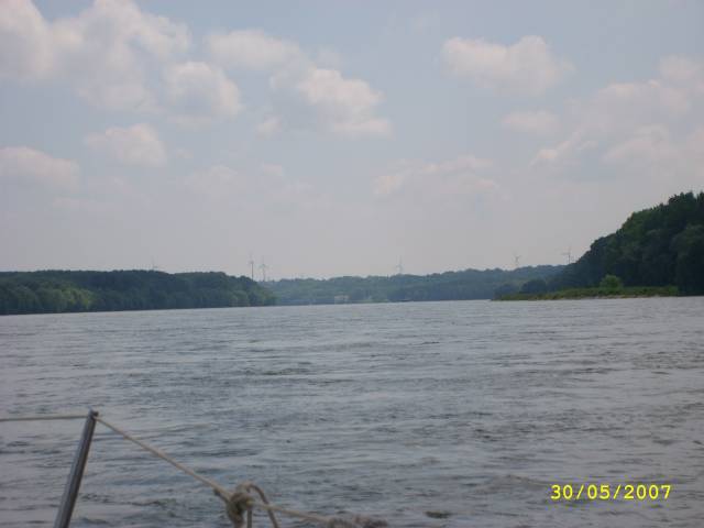
It is almost only an untouched river landscape to see. The villages are hardly even directly on the river.
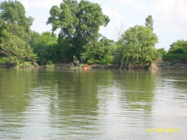
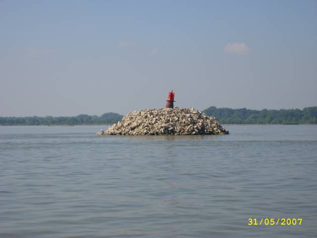
This buoy was supposed to mark the fairway on the opposite side.
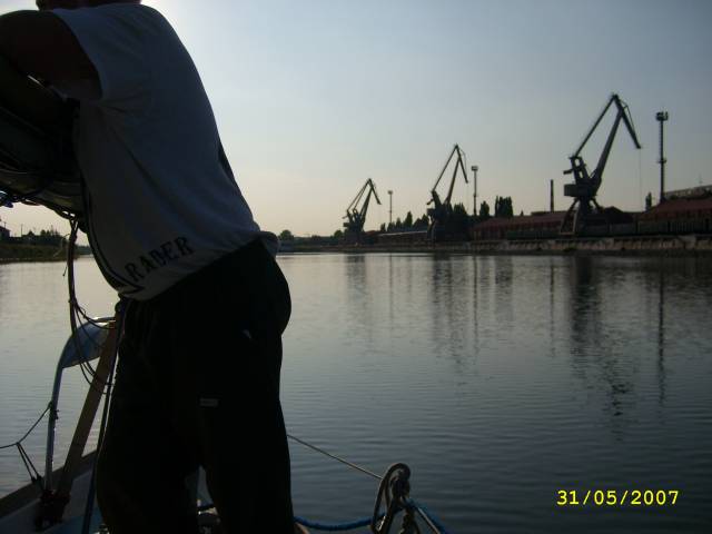
The port of Komarom on the Hungarian border. We're looking for a place to stay. Actually we are already registered in Hungary and therefore should not enter Slovakia any more. From the border post at the entrance we are also observed with binoculars. Because we feared complications because of the omitted border formalities at the entry, we did not dock at all at the Slovak customs and were now curious whether we would still get official visit.
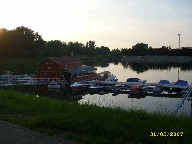
Km 1767,10 At the end of the port is the marina of Miro. It is new and was not yet on our maps. I'm amazed to see the first ship here.
Water depth 3m, there's fuel. Phone Marina: 00421-91532437
The next morning we continue to Hungary.
In the evening we already settled in Hungary. This was the first border at which we needed our crew list and a lot of patience. But after we got to know the process, the remaining limits were child's play. It was strictly speaking illegal for us to spend the night again in Slovakia after the Hungarian clearance, but it happened under the eyes of the Slovak border guards. Today, these border controls are eliminated as all countries are located in the Schengen area.